ArchaeoHub
Catalogue
Collections
Etruria
Cerveteri
Sabina
Pompeii
Sicily
Sardinia
Magna Graecia
Rome
About
Image
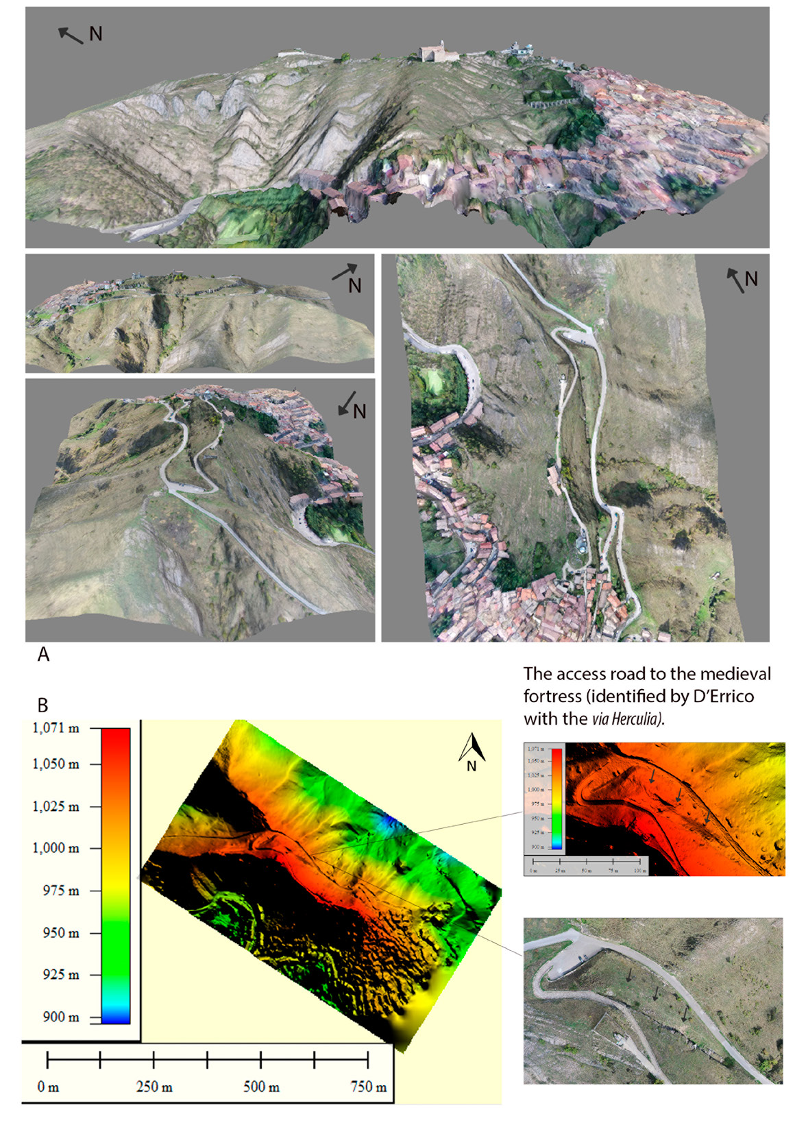
When there was no GIS system: rediscovering archaeological researches of the 19th century through the use of the drone. The case study of Mount Siri (Anzi, Basilicata)
Metadata source
https://iadi.archcalc.cnr.it/images/1016
People / Institutions
Pecci Antonio • Donnici Fabio
Year
2017
Back to the catalogue