ArchaeoHub
Catalogue
Collections
Etruria
Cerveteri
Sabina
Pompeii
Sicily
Sardinia
Magna Graecia
Rome
About
Image
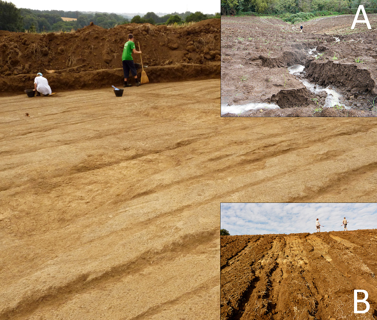
A hand to the plough. A GIS-based cartographical analysis of changes in elevation due to terrain modification and erosion in the settlement area of ancient Crustumerium
Metadata source
https://iadi.archcalc.cnr.it/images/1462
People / Institutions
Seubers Jorn • Trienen Tom
Year
2015
Back to the catalogue